Nagano
KAMIKOCHIKamikochi
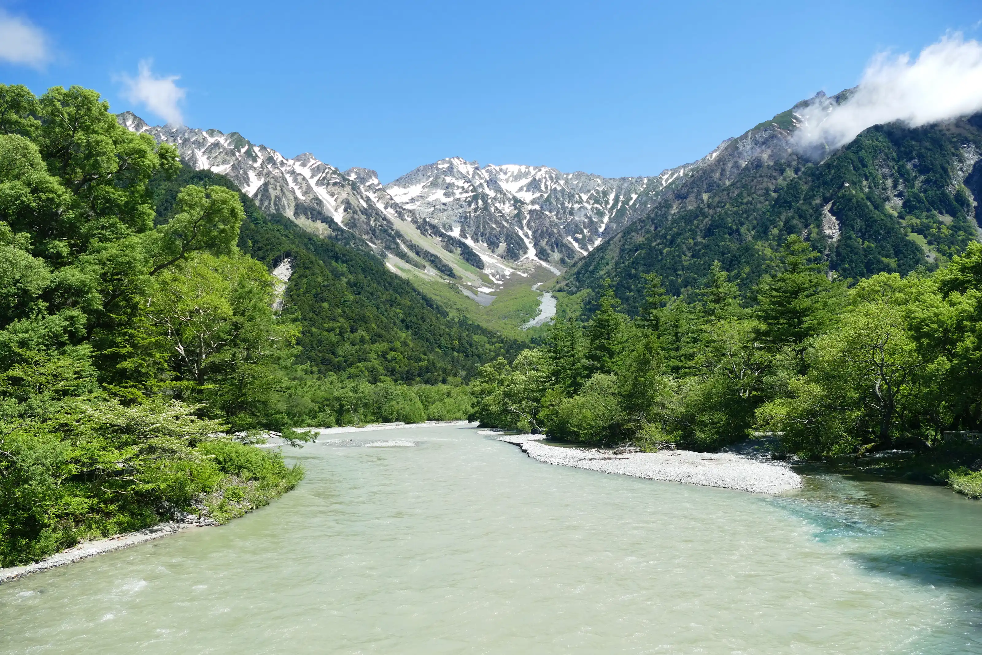
An alpine basin beneath the Hotaka mountain range in Nagano's Kamikochi, with the clear waters of the Azusa River and the reflections of Taisho Pond — a hidden highland open from April to November.
- Region
- Nagano
- Best Season
- Summer、Autumn
- Difficulty
- Moderate
- Suggested Stay
- Recommended stay: 1 day
- Best Suited For
- Hikers and mountaineers、Photography enthusiasts、Honeymooning couples
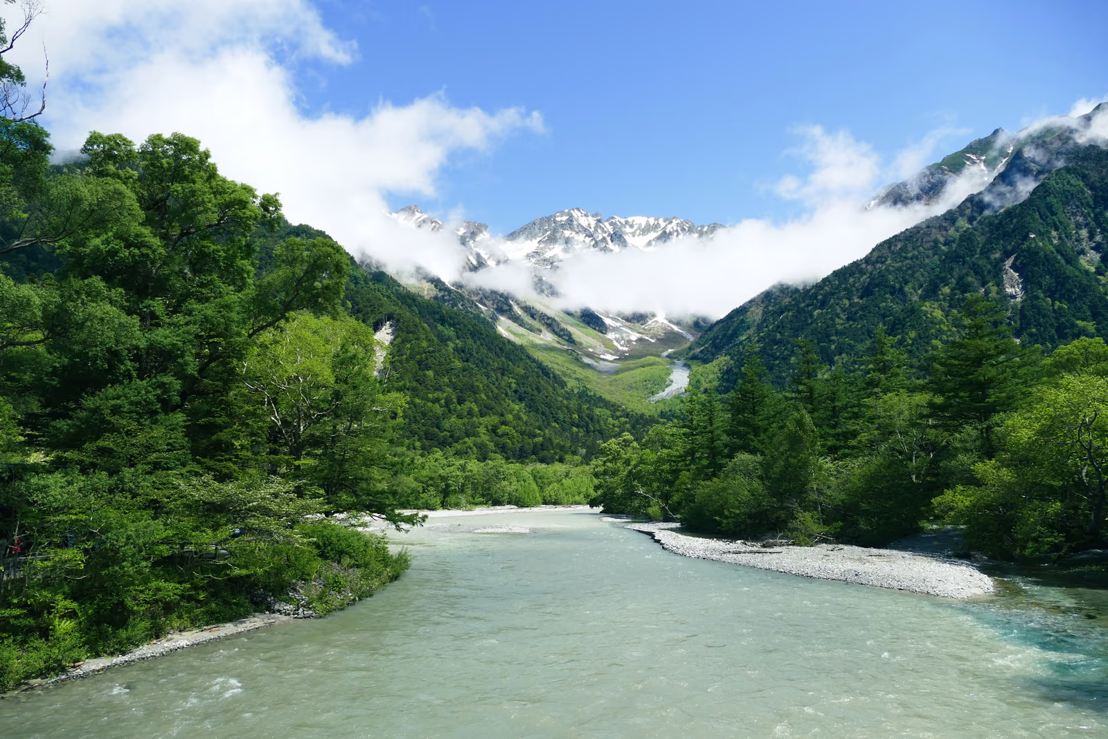
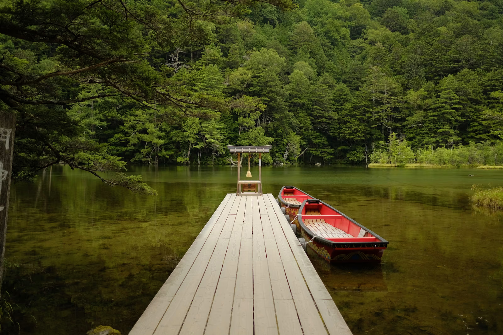
Kamikochi lies in western Nagano Prefecture, at the heart of Chubu-Sangaku National Park — an alpine basin roughly 1,500 meters above sea level, cradled by the Hotaka mountain range and Mount Yake. The crystal-clear Azusa River runs through it, and Kappa Bridge, Taisho Pond, and Myojin Pond are the basin’s three most iconic water-related landmarks, each with its own character: rushing rapids, a lake of dead trees, and a quiet, secluded pool.
Kamikochi opens each year in late April once the snow melts and closes in mid-November as heavy snow returns, staying open for about seven months. In summer (June to August) the forests are lush and the Azusa River runs full, making it peak season for climbing and hiking. In autumn (October), beech and larch trees turn gold, forming a striking contrast against the rock walls of the Hotaka range — the most colorful stretch of the year. In early May, right after opening, patches of lingering snow can still be found in the mountains, giving a view where snowy peaks and fresh greenery coexist.
The most sought-after photography spots are the backlit silhouettes of dead trees at Taisho Pond in early morning, the classic view of the Hotaka range from Kappa Bridge, and the reflections on the still waters of Myojin Pond. At Taisho Pond, arriving before sunrise helps avoid glare from the backlight; at Kappa Bridge, the afternoon side light brings out the layers of the mountain more clearly.
Private cars are barred from entering Kamikochi year-round; visitors must switch to the designated shuttle buses or taxis at the transfer points in Sawando or Hirayu Onsen. From Matsumoto Station, it takes about 1.5 hours by train and bus to reach the Sawando transfer point, followed by roughly another 30 minutes by shuttle bus to the Kamikochi bus terminal.
The main challenge for independent travel lies in the transfers: the ban on private cars means relying entirely on the shuttle bus schedule, and during peak season buses get crowded with long waits. The basin sits at a fairly high altitude with a large temperature swing between morning and evening, and inexperienced travelers can easily be underprepared for it. It’s also about an hour’s walk one way from Kappa Bridge to Myojin Pond, so covering both Taisho Pond and Myojin Pond — at opposite ends — in a single day requires careful planning of stamina and time.
Gallery
You May Also Like
Add WeChat, and let's talk about your trip
A journey into hidden Japan — made for you alone.

YUGEN-JOURNEY(In WeChat, press and hold the QR code to scan, or tap the button below)
Service Boundaries
- You book your flights and hotels independently: I provide a custom illustrated itinerary as reference, but I do not take part in the booking process and do not collect or forward payment on your behalf.
- For ground transport, I help connect you with a licensed charter company (green-plate vehicles); you contract and settle payment directly with them, and I accompany you throughout the ride.
- I am a Mandarin-speaking private guide (the studio's sole operator), not a travel agency; the only fees charged are for guiding/companion services and photography services.